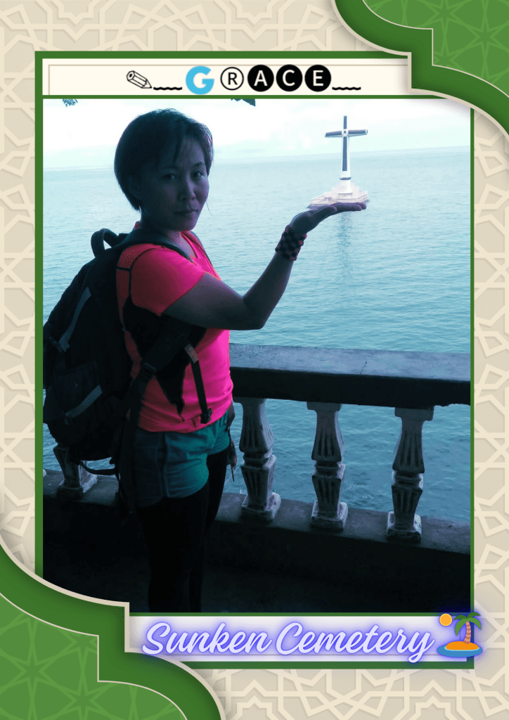
The cross marker is the iconic image of Camiguin for the world. It marks the cemetery that sunk during one of the most powerful eruptions of Old Vulcan in Camiguin.The cross marker is the iconic image of Camiguin for the world. It marks the cemetery that sunk during one of the most powerful eruptions of Old Vulcan in Camiguin.
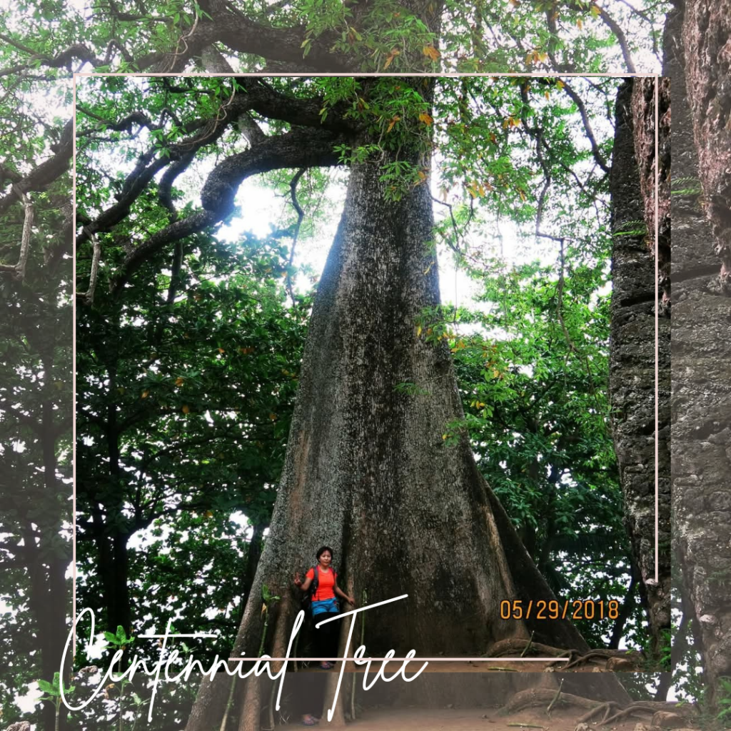
this is actually a pili nut tree and is said to be more than a hundred years old. to its left are the walls of a convent wiped out by a volcanic eruption in 1871.
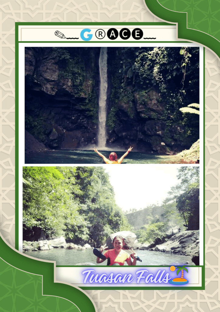
Camiguinis a beautiful place and an island that has yet to be ravaged by mass tourism. You’ll enjoy the stunning surroundings of the ‘Island Born of Fire’.
White Islandis an uninhabited white sandbar located about 1.4 kilometres off the northern shore of Mambajao in the volcanic island of Camiguin in the Philippines. The island is generally horseshoe shaped, although the tides constantly resize and reshape its exact form. Wikipedia
Mantigue is a small island located about 3.5 kilometres off the coast of volcanic island province of Camiguin province in the Philippines. Also known as Magsaysay Island, it is about 4 hectares of greenery fringed with a gleaming white beach of powdery coral sand. Wikipedia
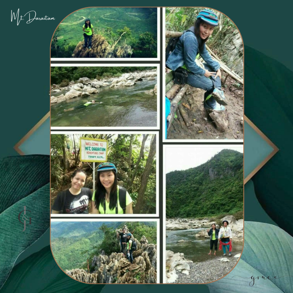
Mt. Daraitan Part of the Sierra Madre mountain range, Mount Daraitan straddles the town of Tanay in Rizal and the town of General Nakar in Quezon province. Daraitan is characterized by lush forests and limestone formations, which dominate the summit
Test your body’s limits as you scramble your way up its 600-meter slippery slope to reach its karst-filled summit where you can have the perfect vantage of the dreamy sea of clouds and of the Sierra Madre.
Dingalan is a a municipality in the province of Aurora in the Central Luzon (Region III) of the Philippines. Also, dubbed as “Batanes of the East”.
Its natural attractions include picturesque waterfalls, lush greenery on mountainsides, and panoramic beaches. Surfing, snorkeling, scuba diving, mountain climbing and trekking are only some of the activities a tourist can enjoy in Aurora.
Believed to have come into existence around 2 million years ago, the Hundred Islands is a spectacle of a total of 143 islands and an additional island during low tide. It is the first national park in the Philippines, as declared by former President Manuel L. Quezon on January 14, 1940.Believed to have come into existence around 2 million years ago, the Hundred Islands is a spectacle of a total of 143 islands and an additional island during low tide. It is the first national park in the Philippines, as declared by former President Manuel L. Quezon on January 14, 1940.
The Hundred Islands National Park is the first Philippinenational park and a protected area located in Alaminos, Pangasinan. The islands, totaling 124 at low tide and 123 at high tide, are scattered in Lingayen Gulf covering an area of 16.76 square kilometres (6.47 sq mi). Only four of them had been developed for tourism: Quezon Island (the most developed), Governor Island, Children’s Island, and Pilgrimage Island.


You must be logged in to post a comment.